Friedensbrücke Bad Münster am Stein-Ebernburg

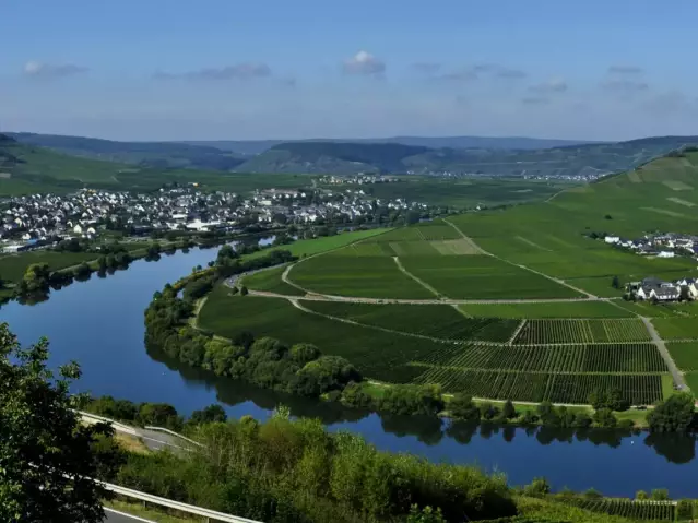
The circular hiking trail along the Friedensbrücke over the Nahe River 170 Mosel – Nahe starts between the towns of Bad Münster Stein-Ebernburg and Norheim.
Facts
-
9 km
Distance
-
2,5 hours
Duration
-
medium
Difficulty level
The circular hiking trail along the Friedensbrücke over the Nahe River 170 Mosel – Nahe starts between the towns of Bad Münster Stein-Ebernburg and Norheim.
To the right of the bridge is the stele which directs your gaze upriver to the Best Vineyard View in the Nahe Region for 2012 – the spectacular red rock with the Bastei and Steigerdell vineyards. The massif, formed out of reddish volcanic rock, is 202 m high and 1,200 m long, making it the largest scarp face between the Alps and Scandinavia.
Continuous volcanic activity some 270 million years ago caused molten magma to rise up and then solidify into the highly weather-resistant rhyolite, to which the red rock owes its hue and name.


